The #1 App for North American Truckers — Trusted by 1M+ drivers for parking, stops, fuel & weigh stations.
Learn MoreThe short answer
Does Google Maps Have a Truck Route Option?
No. Google Maps has no truck mode or fields for your height, weight or load. Trucker Path plans around your truck profile, with low-clearance warnings along the route.
Free to download on iOS and Android, with ads and no time limit. Turn-by-turn navigation requires a paid plan.

Beyond a car route
What a Truck Route Needs
Start with the rig, the load and the places you can stop. A truck profile adds the context a car route does not have.
Your truck dimensions
Set your height, width, weight and truck type. Plan around low clearances, bridges, sharp turns and small roads, with warnings for your profile.
Your load requirements
Apply your hazmat load class to the route, with eleven supported classes. See the full list in the FAQ, and always check posted restrictions and current conditions.
Your stops along the way
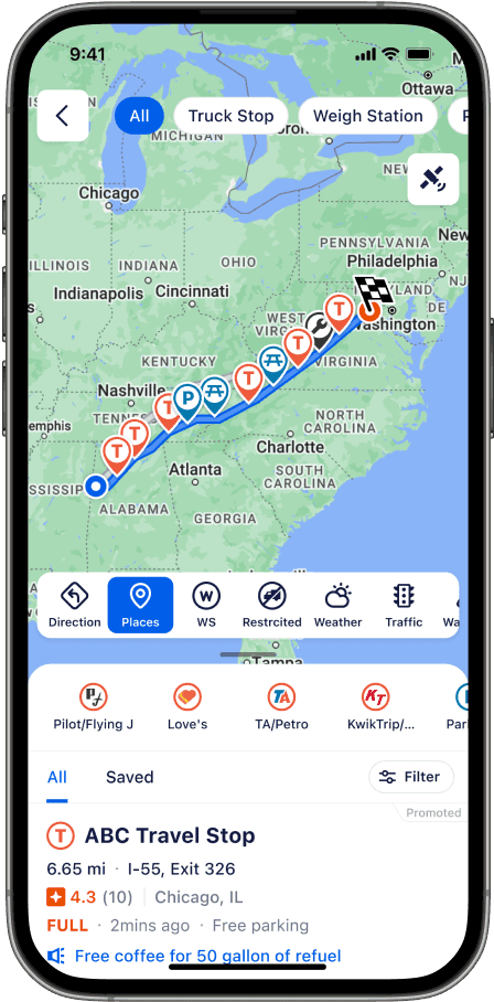
Find USA and Canada truck stops, driver-reported parking and diesel prices, weigh station status, CAT scales, truck washes and rest areas on one map.
Official sources: Google Maps directions (iPhone & iPad) · Truck GPS & hazmat routing · Truck stops
TESTIMONIALS
Hear From Our Customers

“As a retired Army First Sergeant, I tested multiple GPS platforms side by side. Trucker Path stood out — the accuracy, user-driven data, and practical routing made it the clear choice. A critical part of how I run my operation and keep drivers safe on the road.”
“As a former executive, planning has always been essential, not optional, and Trucker Path quickly became one of my core tools on the road. More than once, Trucker Path has saved me from bad decisions — or at least from spending the night inventing new curse words.”
“At Arka Express, efficiency and safety are core. Trucker Path’s navigation helps us achieve both. Our drivers use it for truck-friendly routing, real-time conditions, and parking info. This reduces delays, minimizes miles, and improves driver experience. Tools like these support retention and keep our fleet running smoothly.”
“I replaced my GPS with trucker path. I have been using it every single day. Trucker Path offers so much more than just a GPS (…) I could never go back. Thankful everyday as an OTR driver for Trucker Path.”
FAQ
Truck Routes, Car Maps and What Changes
Does Google Maps have a truck route option?
No. Google Maps Help lists the directions it offers as driving, public transit, walking, ride sharing, cycling, flight and motorcycle. There is no truck mode, and route preferences such as avoiding tolls or highways do not account for truck height, weight, length, axles or what you are hauling. For a route planned around the truck, drivers use a truck navigation app; Trucker Path is free to download on iOS and Android.
How do I set Google Maps for trucks?
You cannot. There is no truck setting to switch on. Some drivers try to approximate one by turning on avoid highways or avoid tolls. Neither of those knows your clearance or your gross weight. Neither will keep you off a road posted against trucks, or out from under a bridge you do not fit through.
Can Google Maps avoid low bridges?
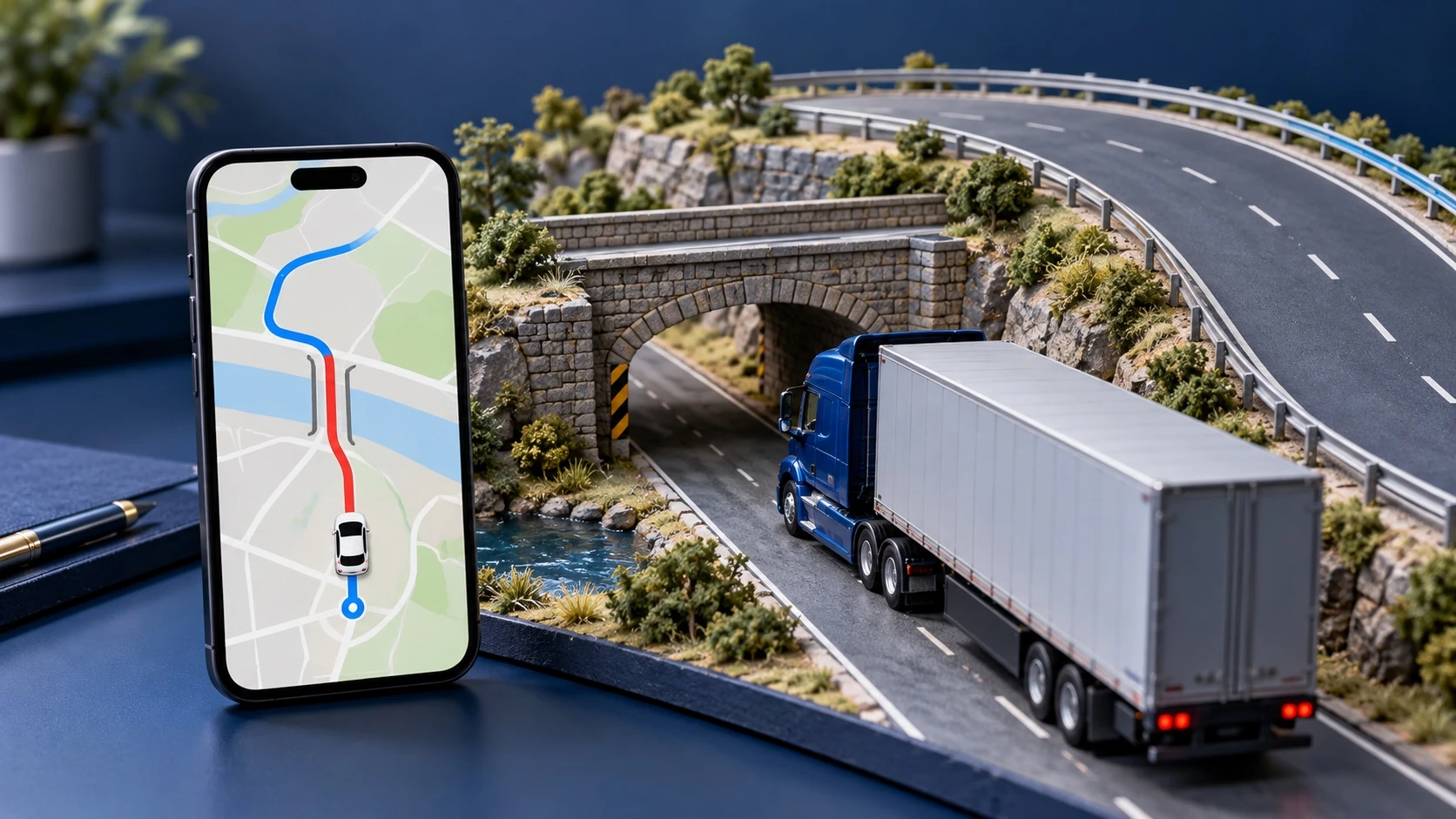
Not by height, because it never asks for your height. Low clearance is a truck-routing function: the map has to hold the clearance of the structure and the height of your rig and compare them. Trucker Path takes the truck profile and warns on low clearances along the route, and carries the same warnings into trip planning.
What is the difference between a car route and a truck route?
A car route optimizes for time and distance and assumes anything on the road network is available to you. A truck route starts from the vehicle — height, width, weight, length and load class — and removes everything that vehicle cannot legally or physically use: low clearances, weight-limited bridges, residential streets, and roads closed to placarded freight. The two can differ by many miles. Posted restrictions and current conditions are still the driver’s call.
Can I plan a hazmat route?
Not in Google Maps, which has no commercial vehicle mode at all. In Trucker Path the route options carry an Apply Hazmat setting with eleven load classes: explosive, gas, flammable, combustible, organic, poison, radioactive, corrosive, toxic inhalant, water pollutant and other. Select the ones you are hauling and the route is planned with them applied.
Does Waze have a truck mode?
No. Waze is built for cars in the same way: no truck profile, no clearance or weight input, and no truck stop, scale house or truck parking layer. The same gap applies as with Google Maps.
Does Apple Maps have a truck mode?
No. Apple Maps covers driving, walking, transit and cycling, with no field for vehicle height, weight or load class, and no truck parking or weigh station information.
Is there a free truck GPS?
Yes. Trucker Path is free to download on iOS and Android with no time limit, and the route it plans is built around your truck height, width, weight and type — seeing it costs nothing. It also carries more than 500,000 truck stops across the USA and Canada, parking availability reported by drivers, weigh station open or closed status, and diesel prices. Turn-by-turn navigation along the route is on a paid plan.
Should I delete Google Maps?
No need. Keep it for a street view or a phone number, and run a truck app for the route, the stops and the parking. They are two different jobs, and only one of them knows how tall you are.
Built around your truck
There Is No Truck Mode. There Is a Truck App.
Height, width, weight and eleven hazmat classes go into the route. Low bridges, weight limits and restricted roads come out of it. That is the whole difference, and it costs nothing to download.
Plan a truck route instead