Where Is the Next Rest Area From My Location? Find It Fast
How Do I Answer “Where Is the Next Rest Area From My Location” Fast When My Clock Is Low?
Most drivers do not need a long process here. They need the next workable stop, how far it is, and whether there is anything else close if that first choice does not work out. When the question is where is the next rest area from my location, the wrong move is poking around in a general map and hoping the route is truck-safe. In Trucker Path, a driver can run truck GPS and look ahead on the map for rest areas right on or near the route. That matters because the route already accounts for commercial restrictions like low bridges, weight-restricted roads, and hazmat zones. So the search happens inside a truck route, not a car route that can send a rig somewhere it does not belong. A practical way to use it:- Set the route in truck GPS.
- Scan ahead for the next rest area on the route.
- Check what sits near it: truck stops, parking, fuel, and scales.
- Pick a primary stop and one backup before getting too close.
What If the Next Rest Area Is Full or Does Not Allow Overnight Truck Parking?
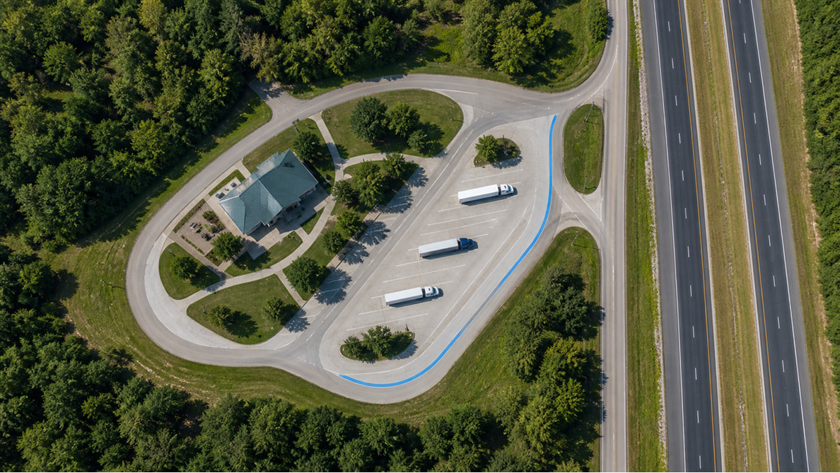
That is where the day usually goes sideways. A driver sees a rest area sign, plans on it, then rolls in and finds every usable space taken. Now the rig is circling, the clock is lower, and the next stop might be farther than it looked on the signboard. Trucker Path helps by putting nearby truck parking options in the same view as the rest area. Instead of treating the rest area like the only answer, a driver can check surrounding truck stops and parking lots before committing to that exit. The live truck parking status shows open, full, or closed — which is a lot more useful than learning the truth from the windshield. State rules also change what “works” means. Some rest areas allow overnight truck parking, while others post time limits or restrict parking at certain sites. Florida rest areas post a 3-hour parking limit, while Texas safety rest areas allow up to 24 hours. On a busy stretch like I-95 or I-10, that difference matters. A short nap stop and a full 10-hour break are two different decisions. Another thing drivers watch is whether the stop works for the whole break. Some rest areas are fine for a short shut-eye but not a great overnight call with truck traffic stacked up and limited services. Seeing parking, fuel, and route position together makes that call faster.How Can I Check Fuel and Weigh Stations Without Bouncing Between Apps?
When a driver is trying to land the day clean, app-switching gets old fast. One screen for maps, another for fuel, another for parking, another for scale locations. That does not just eat time. It breaks focus right when the route ahead needs a quick, clear read. Trucker Path puts along-route fuel prices, weigh station locations, and road awareness tools beside the route itself. The fuel view helps compare prices along the run instead of pulling into the first place with a big sign. Weigh station data pulls in crowdsourced driver reports alongside official data feeds, and live highway cameras let a driver see actual road conditions before reaching a stretch — not just what a forecast says it should look like. For a lot of drivers, this is the difference between a rushed stop and a planned one. If the next rest area is usable but fuel is better a little farther ahead near a better parking option, that whole choice gets clearer in one glance.How Far Ahead Should a Driver Look for a Rest Stop on Busy Freight Corridors?
A lot of old hands start looking well before the clock gets tight. Not because they are worried, but because late decisions usually cost miles. Once the available hours get thin, every extra loop through a packed lot feels longer than it is. A practical habit is to look ahead early enough to keep two stopping options in play: the first likely stop and the next realistic backup. That gives room if parking tightens up, traffic slows down, or weather changes the pace. Trucker Path makes that easier because the route view shows the next stretch with parking, fuel, and road conditions layered in instead of forcing a driver to piece it together from memory. If the route runs through a busy freight corridor, a lot of guys check even earlier. Think I-81 through the Mid-Atlantic, I-40 across Tennessee, or I-5 up and down California. Rest areas and truck stops can fill fast in the evening window on those lanes. Looking ahead before the last hour gets ugly is usually what keeps a simple stop simple.Frequently Asked Questions
How do I find a rest area near me fast?
The quickest method is to search on a truck-specific map while the route is already loaded. That way the rest area shows up in the context of a commercial-safe route, with nearby parking and services visible at the same time.How do I find a rest area near me within 20 miles?
Most drivers zoom the route ahead and check the next few exits instead of searching the whole area. A route-based map makes it easier to see what is actually ahead of the truck, not behind it or off on a side road that wastes time.How do I find a rest area near me within 5 miles?
When the need is immediate, the search gets narrower and the backup matters more. If the nearest rest area is too close to trust for parking, most guys also check the next truck parking option before taking the exit.Are truck drivers allowed to park overnight at every rest area?
No, overnight parking rules vary by state and by location. Some rest areas work fine for truck parking, while others post time limits. Florida posts a 3-hour limit at its rest areas, while Texas posts 24-hour limits at its safety rest areas. Checking the rules before committing saves a lot of grief at the end of the day.What is the difference between a rest area and a truck stop when hours are running out?
A rest area is usually the faster in-and-out option for a short break, but services are limited. A truck stop often gives more parking room, fuel, food, and showers, which makes it the better backup when the rest area does not work out.Summary
- The fastest answer to “where is the next rest area from my location” is a truck route map that shows the stop and the backup in one look
- Checking live parking status before taking the exit can save wasted miles and last-minute circling
- State rest-area rules differ: Florida posts a 3-hour limit, while Texas posts a 24-hour limit at its safety rest areas
- Seeing fuel, parking, traffic, weather, and weigh station locations together cuts down on app switching and rushed decisions
- The cleanest days usually come from planning the next stop early enough to keep a second option open