Wildfire Smoke Is Spreading Across the Upper Midwest and East: What Truckers Should Check Before Running Hazy Corridors
Published July 22, 2026
According to Fox Weather, more than 124 million people are under affected air quality conditions this week from wildfire smoke drifting out of northeastern Minnesota and Ontario, Canada, with Cleveland, Columbus, Detroit, Pittsburgh, and Washington, DC all reporting “Very Unhealthy” air. The EPA recorded Hazardous-level AQI readings at 50 official monitoring stations, making this event more severe than the June 2023 wildfire smoke episode that previously held the record for this region.
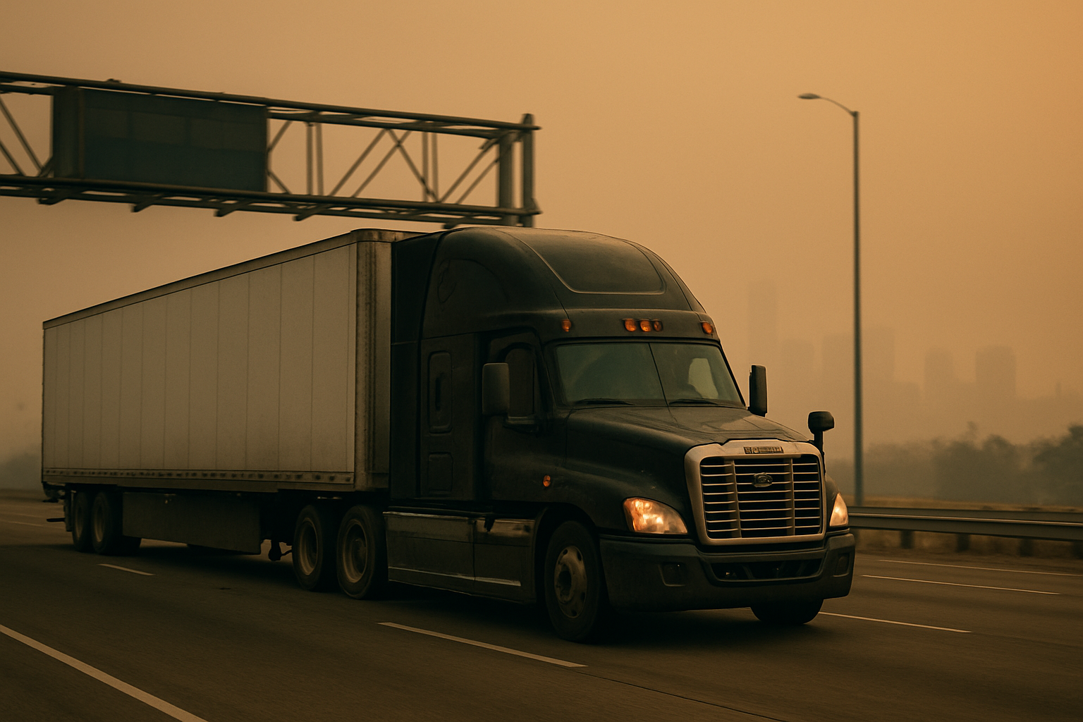
For drivers running the Upper Midwest into the Great Lakes, Ohio Valley, Northeast, and Mid-Atlantic, this is not background haze — it is the kind of visibility story that can change a normal day fast. Drivers on these routes should check conditions by segment before rolling, plan fuel and parking stops earlier than usual, and use highway cameras to read actual road visibility before committing to metro approaches or construction zones.
How Do Drivers Check Wildfire Smoke Conditions Before Rolling on Multi-State Routes?
Smoke does not always shut a road down, but it changes the way a run feels mile by mile. A lane that looked fine at sunrise can turn gray by mid-morning, and long sight lines can shrink fast around city belts, construction zones, and two-lane stretches near tree cover.
Most drivers start with one question: is this just ugly air, or is it bad enough to affect visibility and timing? The answer matters more than the headline. Smoke can drift hundreds of miles from the fire itself, so a driver departing from clear skies can roll straight into haze two states over without much warning.
A practical pre-trip look covers route weather by segment, not just the origin. A Minneapolis-to-Cleveland leg might look manageable overall, but a smoky stretch around Wisconsin or northern Illinois can slow the whole day once traffic tightens up. The same problem compounds farther east when haze thickens near larger population centers approaching the Mid-Atlantic.
Commercial routing also matters more on hazy days. Passenger-car apps often reroute trucks onto side roads that don’t fit a tractor-trailer. When visibility is already reduced, a bad detour is harder to catch early. Trucker Path’s commercial routing keeps trucks off low bridges, weight-restricted roads, and streets built for cars — so a smoke-related traffic reroute doesn’t turn into a second problem on top of the first.
How Do Drivers Time Stops When Smoke Slows the Day Down?
This is where smoky corridors catch drivers off guard. The road stays open, but the day gets slower. When visibility drops, drivers back off the throttle, traffic compresses near cities, and parking can fill up earlier than expected because more trucks call it a day before dark.
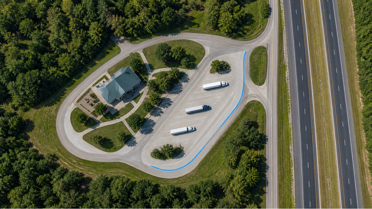
A lot of experienced drivers shift their thinking from “how late can I push this?” to “where can I stop sooner if this gets worse?” That one shift keeps the last hour of the day from turning into a parking hunt in low-visibility conditions — when brake lights, signs, and lane changes all feel harder to read.
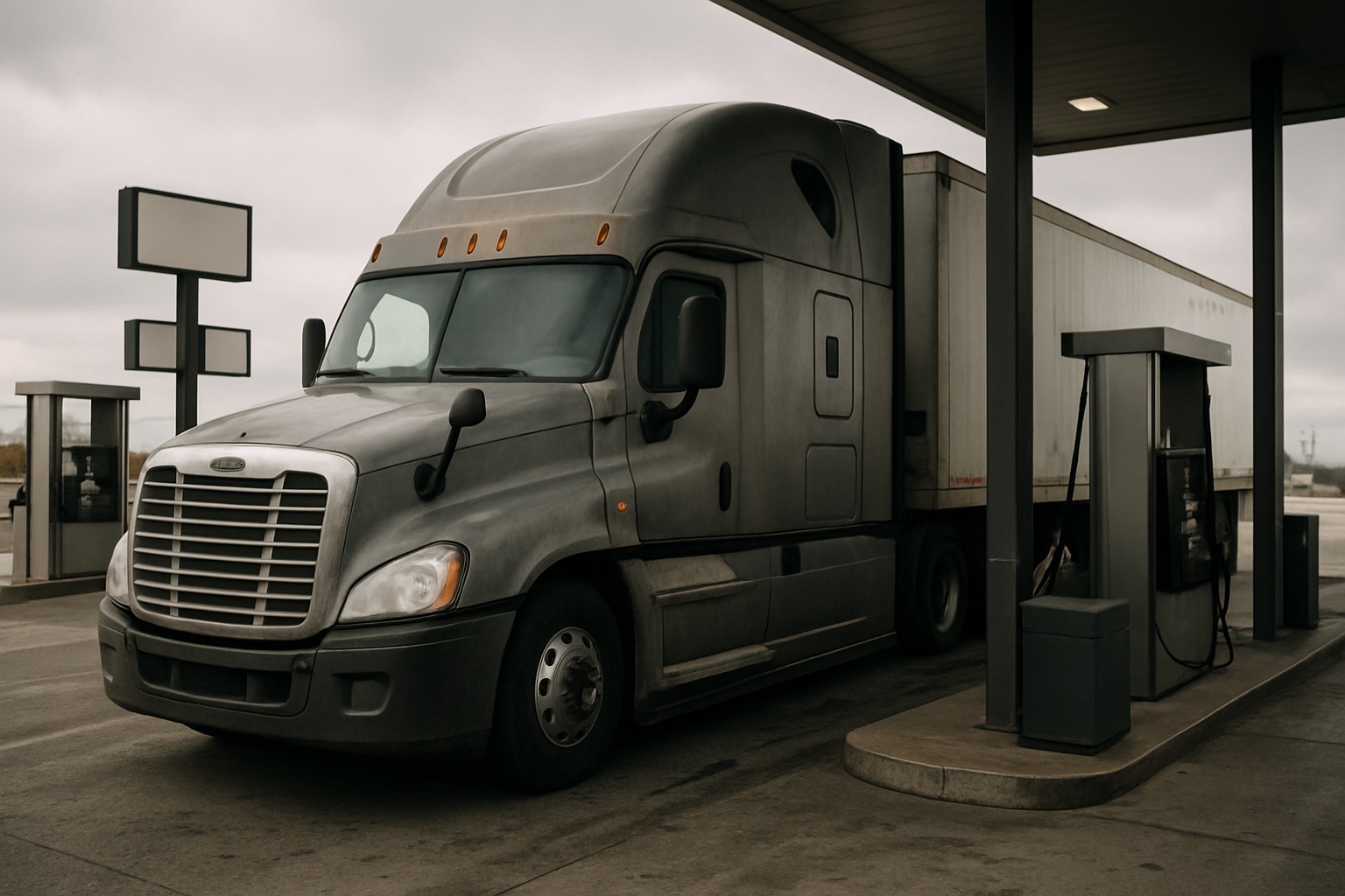
Fuel timing changes too. If haze is thick enough to make the run mentally taxing, many drivers would rather fuel earlier, grab food, and reset before taking on the harder part of the corridor. Waiting to see if conditions improve often means arriving at a fuel stop or rest area when everyone else had the same idea an hour later.
Running a smoky corridor this week? Check live parking availability, highway cameras, and truck-safe routing along your route before conditions and stop options tighten up.
Download Trucker Path Free
What Route Checks Matter Most While Moving Through Affected Corridors?
Once the wheels are turning, smoke becomes a live road-awareness problem. Conditions can change between one stop and the next, especially when wind shifts. Most drivers watch travel time, not just miles, because slowdowns build fast when traffic reacts to reduced visibility.
Highway cameras give a more honest picture than a weather forecast in this situation. A weather icon shows a smoke advisory; a camera view shows whether the road actually looks drivable, grayed out, or already backed up. That matters before committing to a metro approach, a bridge crossing, or a construction bottleneck where everyone starts braking early. Trucker Path shows live highway cameras along the route so a driver can see real conditions before rolling into the next stretch — not after.
This week’s smoke pattern makes that more important because the affected lanes are not limited to one pocket. Drivers can start in clearer air and run into haze later across the Great Lakes, Ohio Valley, or farther east toward the Northeast and DC-area freight traffic. That spread can shift delivery timing even when the pickup point looked fine at departure.
It also makes sense to watch for chain-reaction problems. Smoke itself may not close anything, but it can contribute to crashes, lane closures, and heavy commuter traffic that create long backups. In those moments, most drivers want a truck-safe path around trouble — not a 4-wheeler shortcut through a low bridge or a street built for cars.
Frequently Asked Questions
Does wildfire smoke always mean roads will close?
No. Most of the time, smoke affects visibility and driving comfort more than road access. The bigger issue for truckers is slower traffic, shorter sight lines, and more fatigue over a long day — which affects stop timing and fuel decisions more than the route itself.
Which freight regions are dealing with smoke this week?
Fires in northeastern Minnesota and Ontario, Canada are the primary source. Fox Weather reports more than 124 million people are under affected air quality conditions, with Cleveland, Columbus, Detroit, Pittsburgh, and DC all hitting “Very Unhealthy” levels. The EPA recorded Hazardous AQI at 50 official monitoring stations — more extreme than the June 2023 event that previously held the record for this region. Conditions can shift as winds move the smoke, so checking AirNow.gov before departure gives the most current picture by corridor.
What is the biggest trip-planning mistake in smoky conditions?
Treating smoke like a normal clear-weather day and keeping the same stop plan. Most runs go smoother when drivers build extra time into the schedule and choose an earlier parking option before visibility and fatigue get worse in the back half of the day.
How can drivers check smoky route conditions without guessing?
Check conditions by route segment, not just the starting point. Trucker Path shows commercial routing, weather along the route, live highway cameras, parking availability, and fuel stops in one place — so drivers can read the real road picture before committing to the next corridor.
Does smoke affect parking and fuel timing?
Yes. When traffic slows and drivers tire earlier, parking fills up sooner than on a normal day. Fuel stops can also get busier because more trucks bunch up around the same safer stopping windows. Checking parking status earlier in the day — before the last two hours of the clock — gives drivers more options.
Summary
- This week’s wildfire smoke event is historically severe — 124M+ people affected, Hazardous AQI at 50 EPA stations, worse than the June 2023 record — with freight corridors from the Upper Midwest to DC under visible haze
- The main driver risks are reduced visibility, slower traffic, earlier fatigue, and tighter parking later in the day
- Check conditions by route segment — not just the origin — because smoke can move significantly between departure and delivery
- Earlier fuel and parking decisions work better than pushing for normal mileage in low-contrast conditions
- Highway cameras give a more honest read on actual road visibility than weather advisories alone
If this week’s haze is sitting on your route, check live parking availability, highway cameras, and truck-safe routing before visibility and stop options get tighter: Download Trucker Path Free
Sources
- Fox Weather — “Thick smoke from Canadian, Minnesota wildfires send air quality plummeting across New England”, July 14, 2026 (updated July 16, 2026)
- Yale Climate Connections — “Dangerous and historic wildfire smoke pollution event engulfs the U.S. and Canada”, July 17, 2026 (updated July 21, 2026)
- AirNow.gov — National Air Quality Maps
Air quality conditions change quickly as wind shifts; figures above reflect the dates and sources cited. Check AirNow.gov for the most current picture before departure.